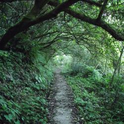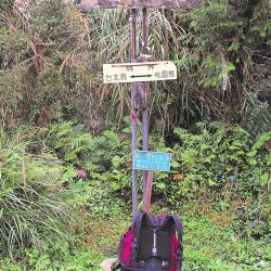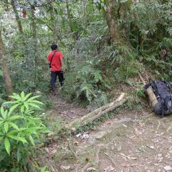
The Zhongling Police Post, located in Datong Township of Yilan County, was established in 1935 and abolished after the war. The ruins of the police station can be reached by a 3-hour walk starting from the Hapen camp. Then cross the saddle between Mount Zhongling and Mount Hongchai. Alternatively, start from the end of the Lunpi industrial road and it will take around 50 minutes on foot to reach the site.
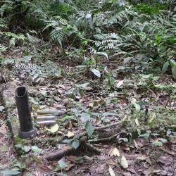
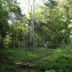
Today, there are still two horizontal logs and a row of stones, as well as cement foundations and buildings at the former site of the Zhongling police station entrance, but they are all covered in weed roots.