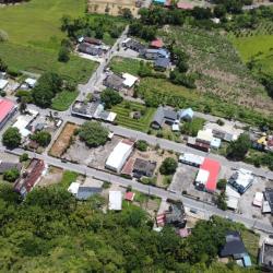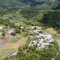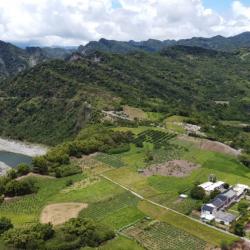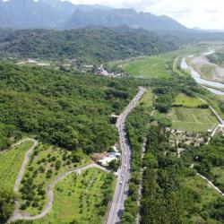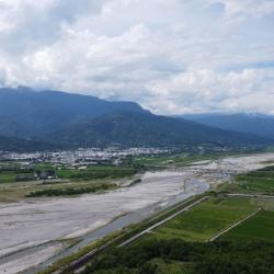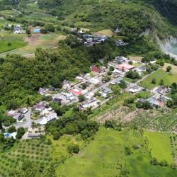
The Chimei Hamlet is located on the highlands formed by the alluvial river terraces of the Xiuguluan River in Ruisui Township, Hualien County. It is divided into upper and lower hamlets. The upper hamlet was where the tribe first established, while the lower hamlet is where the residents currently live. The traditional name of the Chimei Hamlet is Kiwit, which means crabgrass, because according to legend, there was abundant crabgrass here. However, the Han people pronounced it as Chimi. Until the Japanese occupation, the Government-General in Taiwan ordered the residents to move from the upper terrace to the lower terrace and renamed it to Chimei.
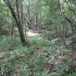
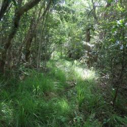
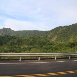
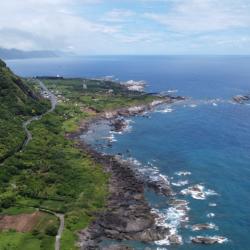
In the past, tribal people only used hunting roads or going down the stream to get to the outside world. In the Qing period, General Wu Guangliang built plank roads, which continued to be used during the Japanese occupation. Finally, in 1986, the plank road was widened and built into Ruigang Industry Road.