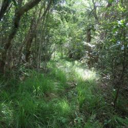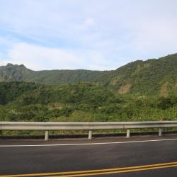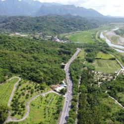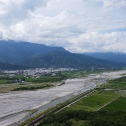
The Yu-Chang Highway, which runs through Hualien County and Taitung County, was excavated in 1875. The highway stretches mainly along the Antong Valley and deep into the coastal mountains. After passing through a tunnel, it then follows the road between the Lujiao Creek and Ningpu Creek that leads to Ningpu Village in Changbin Township. The construction of the Yu-Chang Highway was actually based on the Antong Traversing Historic Trail. At that time (Qing period), General Wu Guangliang, who was stationed in Yuli, led the soldiers to excavate Pushige Chengguang’ao passae. This became the outer port of the middle section of the Huadong Rift Valley on the other side of the Coastal Mountains.
During the Japanese occupation period, the Government-General in Taiwan revised the legislation and changed the route to go from Antong to Zhuhu. In the post-war period, the Nationalist Government built a road from Yuli to Changbin, and chose the same route as the Antong Traversing Historic Trail. This road was completed and opened to traffic in 2007.