Qing

Dashuiku Hut
大水窟山屋

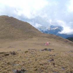
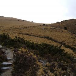
The far ridgeline in the picture is Dashuiku, which is located in south of Mount Dashuiku, south of Mount Jianshan, and north of Mount Jianshan and North-faced Mountain, on the main ridge of the Central Mountain Range. 

Nearby is a bamboo grassland with a good outlook and a natural pond. The Qing soldiers were once stationed here in the Qing period and named the camp Shuiku. Today, the pottery fragments left by the life of the people at that time can be found on site. Furthermore, this area was the prefectural boundary for Taichung and Hualien during the Japanese occupation period, and a checkpoint was set up. Currently, there are still traces of the stacked stone foundation. There are also semi-circular iron pipes on site, which were left from the Japanese occupation period when the water source of the Dashuiku was drawn from the pond in the north.

Dashuiku
影像為大水窟池東北方的高處俯瞰大水窟山屋與日越嶺道。

Dashuiku has been a traffic hub since the Qing Dynasty. The Batongguan Historic Trail from the Qing period was completed in the first year of Guangxu (1875). Since then, a camp was set up on the east side of the Dashuiku pond, and today there are remaining ceramic fragments on site that after being studied by archaeologists, they are products of Fujian Dehua kilns during the Xianfeng and Tongzhi reigns of the Qing Dynasty. The Batongguan Traversing Trail was completed in the 10th year of Taisho (1921). The Japanese set up the prefectural boundary on the roadside on the southwest side of the Dashuiku pond, at an altitude of about 3240 meters, and built a pavilion above it for travelers to rest.
In the 1970s, the Forestry Bureau built a tin and iron mountaineering hut in the south of the pond, but it was destroyed by strong winds and snow. Yushan National Park Management Office built a mountain house with solar power supply, rainwater collection tank and simple toilet on the original site, which can accommodate 24 people.

Historic trail stairs of the Qing period
影像為調查人員於八通關山前峰南稜所找到的石階,約有20多階2.4公尺的石階,成弧形修築,十分壯觀,階梯上鋪滿二葉松針,保存狀況良好,清八通關古道大多沿稜而行,與日治時期越嶺道沿山腰繞,有所差異,影像調查人員以山刀清除古道階梯上方的植物。

The Batongguan trail of the Qing period begins from the Batongguan campsite of the Qing period, crossing the upper reaches of the Laonong River, along the southern edge of the front peak of the Batongguan to the northern edge of Mount Zhizhu, where it intersected with the traversing historic trail from the Japanese occupation period. Continue climbing along the edge and you will reach the Dujuan saddle.