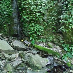
The Hapen Historic Trail, which crosses diagonally through Wulai District of New Taipei City and Datong Township of Yilan County, starts from Fushan in the west and reaches Lunpi in the east.
The trail runs along the right bank of the upper reaches of Nanshi River and around the mountains. After arriving at the confluence of Nanshi and Hapen River, continue up the Nanshi River valley to reach the estuary of the two rivers. Then the path climbs up the ridge line between the two rivers to reach the east saddle of Peak 934. Continue climbing up to the saddle between Mount Hongchai and Mount Zhongling to reach the highest point of the Hapen Historic Trail. From there it is a descending road to Zhongling police post, and finally arriving at Lunpi. As the trail passes through many tributaries along the way, there are many water sources.
- - / -
- - - -
- -
- -/-
- -
