Geographic Information of Taiwan Indigenous Peoples Historic Trails

:::

主導覽
  • Historic Trails
  • News
  • Maps
  • Links
  • About
  • Sitemap
中文EN

Exploring Historic Trails

古道探尋主視覺圖
古道探尋選單
    • All
    • Paiwan
    • Bunun
    • Thao
    • Amis
    • Atayal
    • Taroko
    • All
    • Paiwan
    • Bunun
    • Atayal
    • Amis
    • Rukai
    • Tsou
    • Sediq
    • Truku
  1. 首頁
  2. 古道探尋
  3. 日治時期
  4. Japanese Occupation Period/Bunun

:::

Japanese Occupation Period/Bunun

八通關越嶺古道封面照
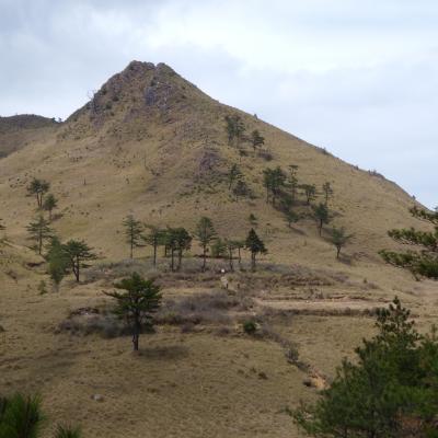
Batongguan Traversing Historic Trail
Length120KM
Nantou County
Hsinyi Township
Hualien County
Chohsi Township、 Yuli Town
More
霧社、卡杜古道封面照
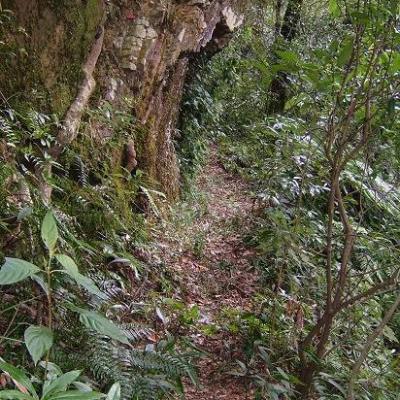
Wushe Kashe Historic Trail
Length60KM
Nantou County
Ren'ai Township
Nantou County
Hsinyi Township
More
關山越嶺古道封面照
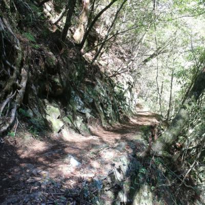
Guanshan Historic Trail
Length171KM
Kaohsiung City
Liukuei District
Taitung County
Kuanshan Town
More
內本鹿越嶺古道封面照
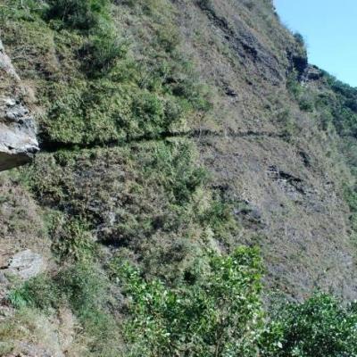
Pasnanavan Historic Trail
Length126KM
Kaohsiung City
Liukuei District
Taitung County
Yenping Township
More

:::

原住民族委員會原住民族文化發展中心

  • ADD | No.104, Majia Township, Pingtung County 903 Taiwan (R.O.C.)
  • TEL | +886-8-7991219.+886-8-79935112 FAX | +886-8-7993551
  • OPERATING HOURS | Tuesday to Sunday AM08:30-PM17:00 Closed every Monday(Open on National Holidays)
頁尾選單
  • Historic Trails
  • News
  • Maps
  • Links
  • About
  • Sitemap
  • Unique Visitors: 29258

© 2021 原住民族委員會原住民族文化發展中心 Indigenous Peoples Cultural Development Center
The information on this website is not for mountaineering and hiking purposes but to provide academic information only.

Web Accessibility 2AA seal