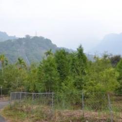
This Baileng Police Post can be seen from the 1/50,000th topographic map of the Japanese rule during the Showa period. It was the predecessor of the Supervisory Office on the Baileng Aiyong Boarder, where there is a patrol defile, which was excavated on February 23, Meiji 44 (1911). The route starts from the Beileng Supervisory Office, going up the Dajia River and arriving at the シウワンタイム, with a total length of about 4 miles (about 16 kilometers). In the 3rd year of Taisho (1914), because the original old defile was very narrow, Taichung Office planned to widen the road from Dongshijiao to Baxianshan to facilitate the logging business. It was finally excavated by the Forestry Bureau of the Governor's Office of Taiwan, but the road still ended at Kurasu (now Songhe, Heping District, Taichung City).
- - / -
- - - -
- -
- -/-
- -
