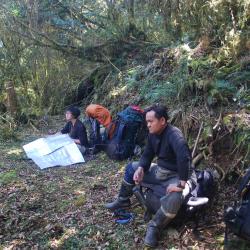
Attractions along Guanmen Historic Trail
The eastern section of Guanmen Historic Trail starts from Bazai Village to the ridge of Bazai Mountain, bypasses Xinglujun Mountain and Mahouwanshan, then goes up along the southeast ridge of Luntaiwen Mountain, After bypassing the top of Luntaiwen Mountain, it then descends steeply to Matai’an River, and then climb from the bottom of Matai'an River to the south three-section ridge line. Head north for another one kilometer you will reach the Guanmen Pond at the foot of Guanmen Mountain.
- - / -
- - - -
- -
- -/-
- -
古道地圖
沿途景點所在位置
沿途景點所在縣市
花蓮縣
沿途景點所在鄉鎮
瑞穗鄉
