The Bunun people call this place BaBahrasno, which means "river" because on the southern side of the Batongguan plain, there was a small tributary of the Yanong River passing through it. When the "Central Road" was built during the Qing Dynasty, this place was used ot be called Pantonukua, which is the Cou language for Yushan. This was later transliterated to Batongguan, and the path is being use to this day.
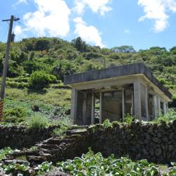
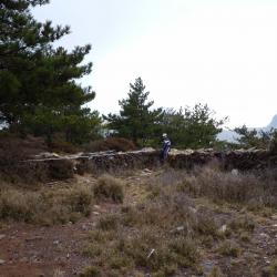
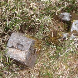
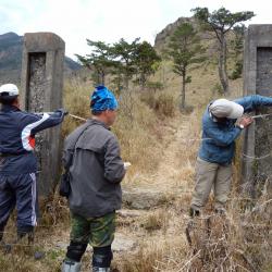
Due to the dangerous terrain and that Batongguan has a good outlook, there were police officers stationed there with trenches, observation decks, and shooting ranges during the Japanese occupation period. There was a wrestling field in front of the station. Every autumn a wrestling competition is held between the police posts, and there are two rows of rammed earth walls about 1.2 meters high. Batongguan plain was a place where the historic trail of Japan and of Qing Dynasty intersects.