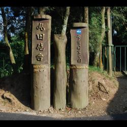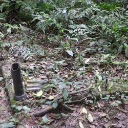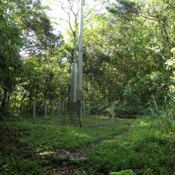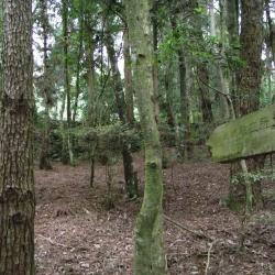
The Beikeng Police Post, in Tai’an Township of Miaoli County, was established in 1923. It is located on the 14.6 km point of the Beikeng Creek Historic Trail and is about 1,640 meters above sea level. The traditional Atayal name for the place is Simayen, which means floor-like lawn.
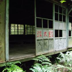
The Beikeng Police Post was originally the administrative center of the Beikeng Creek Historic Trail. There was an education center, Wude Hall, medical facility, places for trades, guns and ammunition depot and so on, of which the buildings still remain on the trail today.
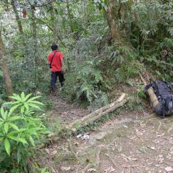
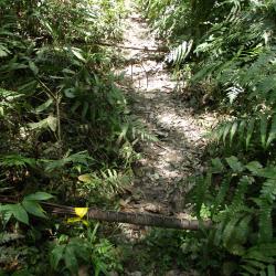
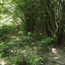
Around 2003, Xuepa National Park renovated the historic trail section from Guanwu to Erbensong, but due to natural disasters, the entire section was still difficult to pass through and was abandoned. Only a few parts of the trail remain.