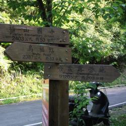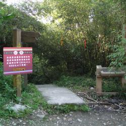
Hapen Historic Trail starts from Fushanli, Wulai District, New Taipei City in the west, and ends in Lunpi Village, Datong Township, Yilan County in the east. Formerly known as "Shenkeng to Yilan Crossing Aiyong Boarder", when the Japanese government rebuilt thisroad for relocating the indigenous people of the Ka’aowan group from Takasan and Gaoyilan communities in Showa 6 (1931). The original starting point was near Xinxian Village, Wulai District, follow the right bank of Nanshi River to Fushan Village and then turn to the direction of Hapen. Later, due to the excavation of modern roads, the mountaineering entrance was also moved to the Karamoji Industrial Road on the opposite bank of Fushan Village.