Bridge

The remains of the suspension bridge
露門溪旁的吊橋遺跡,仍可見地上露出的纜線

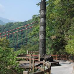
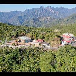
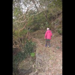
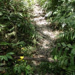
The Hapen Historic Trail, which crosses diagonally through Wulai District of New Taipei City and Datong Township of Yilan County, runs along the right bank of the upper reaches of Nanshi River and around the mountains. As it was required to cross the Polu River and Lumen River when traveling on this trail, the Government-General in Taiwan built a suspension bridge to facilitate crossing the river. However, the suspension bridges have been destroyed now, and mountaineers must wade across the river. If there is a typhoon or heavy rain, it is safer not to walk the trail.


Balong Suspension Bridge
巴壟鐵線橋遺跡的紀念石柱

The Balong Suspension Bridge in the Fuxing District of Taoyuan City is located on the 47 km point of the Provincial Highway 7 and was completed in 1914. It was the junction of the Fuba Historic Trail and the Jiaobanshan Sanxing Guard Road during the Japanese occupation. The Sanxing Guard Road is the predecessor of the current Northern Cross-Island Highway.

In the post-war period, the National Government built the Northern Cross-Island Highway, demolished the Balong Bridge and built the (old) Baling Bridge.

Today, in the small park next to the tunnel entrance, the memorial stone pillar of the Balong Bridge still stands, with “Balong Bridge” carved on the front, and the year it was built engraved on the back. Later, due to traffic congestion, the Ministry of Transport built a new Baling Bridge at the lower reaches of the Baling Bridge.


Gongtian Village
從空中俯瞰公田聚落

Gongtian Village, located in Fanlu Township, Chiayi County, is bounded by Zhuqi Township and Alishan Township from the north to the east. People of the Liu family named this place Gongtian (literally means public field) because this piece of land was jointly cultivated. Gongtian then gradually became a regional general term. During the Japanese occupation, this place belonged to Gongtian Dazi and a police post was set up. In the post-war period, the administrative area was re-structured. The main settlement remained to be Gongtian and thus, the old administrative area name, Gongtian Village, was used.

Suspension Bridge next to Old Haocha Water Source
舊好茶部落水源地旁的吊橋遺跡

The remains of the suspension bridge next to the water source of the old Haocha Village is about 1,000 meters above sea level. Although the bridge has been destroyed, you can still see the main iron cable of the suspension bridge that spans across the stream. Heading down the mountain along Wutai Haocha Historic Trail you will reach Sandimen. To this day, at the trail entrance next to the water source of the abandoned Old Haocha Elementary School, there is still a complete stone-stacked road. However, there is only about 1 km of walkable historic trail remaining, and the rest have collapsed.

Historic Trail next to Old Haocha Water Source
舊好茶部落水源地旁的古道

Wutai Haocha Historic Trail entrance is located next to the water source of the Old Haocha Elementary School and is about 1,000 meters above sea level. Most parts of the trail have collapsed, leaving only about 1 km of the historic trail left for passage. Currently there is a suspension bridge ruin and the stone-stacked road is complete. The original starting point of the Wutai Haocha Historic Trail was located in Zhenxing Village, Yanpu Township, Pingtung County, and passes through Sandimen, Wutai and Old Haocha successively. It has a total length of about 27.9 km. During the Japanese occupation, the trail was designed for connecting villages. Today, the section that starts from Sandimen has been widened and became the Provincial Highway 24 leading to Wutai.