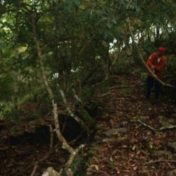
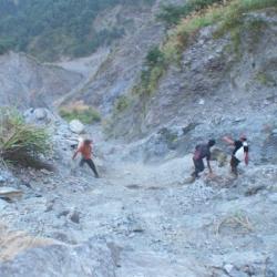
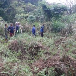
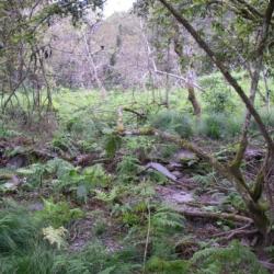
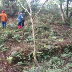
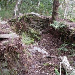
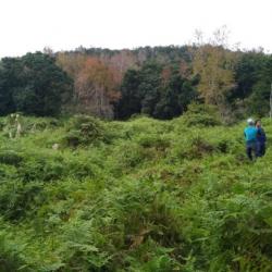
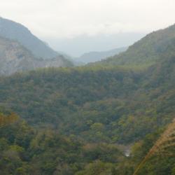
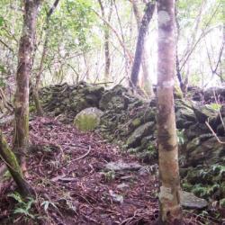
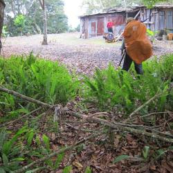
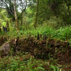
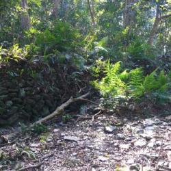
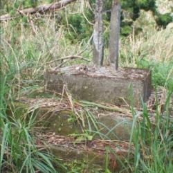
The Piahau Historic Trail, which runs through Nan'ao Township and Datong Township in Yilan County, was built in 1919. It starts from Nan'ao village in the east and ends at Siji village in the west. There is also a split passage that leads to Hanxi village in the north. The main trail is about 87.2 km in length and the split passage is about 44.2 km long. The trail mainly passed through the traditional territories of the Nan’ao Atayal tribe. During the Japanese occupation, the Government-General in Taiwan used the Piahau Historic Trail as the path for relocating Indigenous peoples, forcing the Atayal people to move to another village. In the early post-war period, the National Government also forced the tribes to move to the plains, and the last hamlet to be relocated was the Hagaparis.
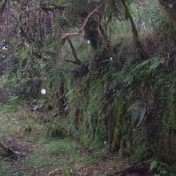
Today, the Piahau Historic Trail is classified as a national trail. While most sections of the trail still exist, only partial is accessible because it has not been fully restored.
- - / -
- - - -
- -
- -/-
- -