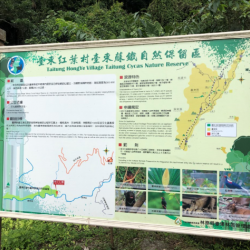
The Pasnanavan Historic Trail, which crosses the Liugui District of Kaohsiung City and Yanping Township in Taitung County, was built in 1924. It starts from Liugui in the west and reaches Taoyuan in the east. The total length of the trail is about 126 km.
In the past, the entry to the Trail was mostly from the west. Although the Government-General in Taiwan found the passage long and difficult in getting in and out, this trail was built nevertheless.
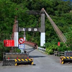
Currently the section of this trail that starts from Liugui to Tengzhi is open as the Tengzhi Forest Road, and some parts of the eastern section are accessible by industrial roads. However, there are sections that have collapsed, which makes it impossible to pass.
- - / -
- - - -
- -
- -/-
- -

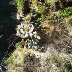
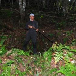
Mountain trail that is often used by tribal people