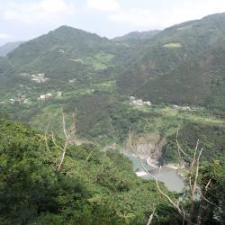
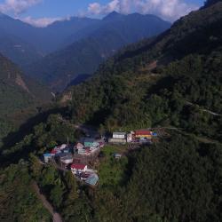
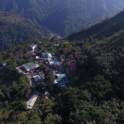
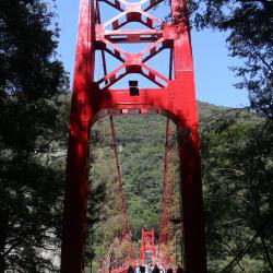
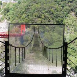
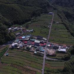
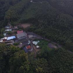
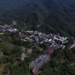
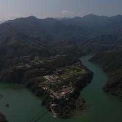
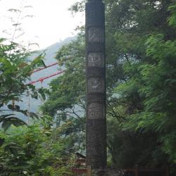
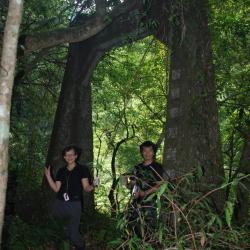
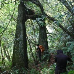
The Jiaobanshan Sanxing Historic Trail, which traverses the Fuxing District of Taoyuan City and Sanxing Township in Yilan County, was built in 1911. The trail starts from Mount Jiaoban in the west and ends at Sanxing in the east. It is about 125 km in length and was the earliest excavated passage for regulating indigenous peoples during the Japanese occupation. In the early days of the Japanese occupation, the Government-General in Taiwan began exploring east-west traffic routes. Later, funds for the indigenous peoples regulating project were used to build this trail that mainly passed through traditional territories of the Atayal tribe and led to Yilan.
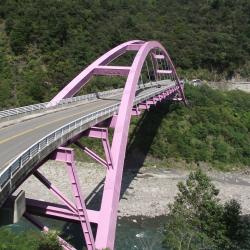
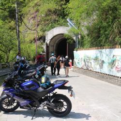
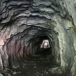
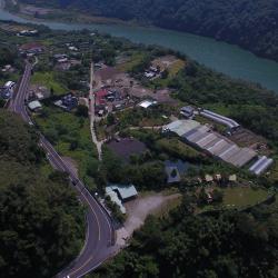
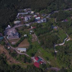
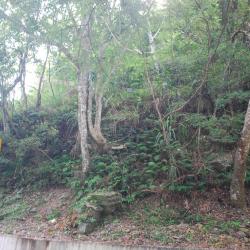
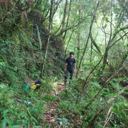
Today, most sections of the Jiaobanshan Sanxing Historic Trail have been replaced by the Northern Cross-island Highway. The only section that still remains is from Mingchi to Yingshi village. However, this path has not been used for many years and is not clear. Many areas have also collapsed which makes it difficult to pass through.
- - / -
- - - -
- -
- -/-
- -